 114 Stanhope Road, Smethwick, West Midlands, United Kingdom, B67 6JJ
114 Stanhope Road, Smethwick, West Midlands, United Kingdom, B67 6JJ
114 Stanhope Road, Smethwick, West Midlands, United Kingdom, B67 6JJ
 sales@surveyteam.co.uk
.png) 02045383223
02045383223

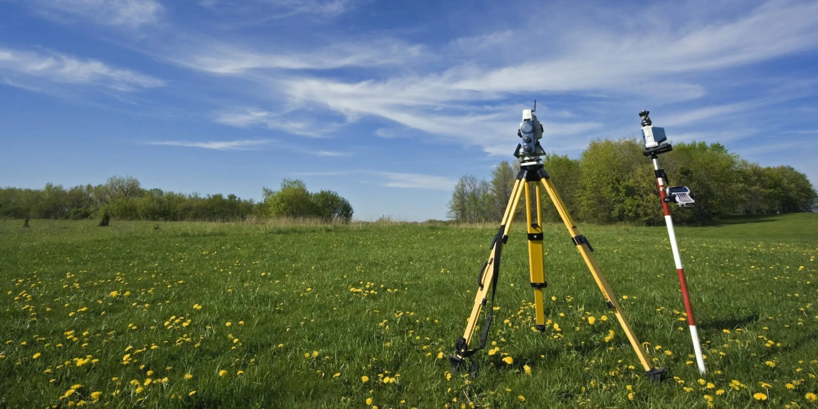
Topographical Survey
The Survey Team specializes in Topographical Surveys, providing detailed and accurate land mapping services for construction, planning, and property development. Our surveys capture precise measurements of natural and man-made features, ensuring informed decision-making for any project.
A topographical survey is essential for understanding site conditions before construction begins. It provides information on elevation changes, existing structures, vegetation, utilities, and drainage systems. Our advanced surveying techniques ensure highly reliable data for architects, engineers, and developers.
Our process includes state-of-the-art technology such as GPS, laser scanning, and drone surveys to create accurate site models. These methods allow us to produce highly detailed contour maps and 3D representations, helping clients visualize the site’s topography effectively.
Topographical surveys help identify potential challenges, such as uneven terrain, water flow patterns, and underground utilities. By addressing these factors early, we help clients reduce costly project delays and improve overall planning efficiency.
Our experienced surveyors work closely with clients to tailor each survey to their specific needs. Whether for residential, commercial, or industrial projects, we ensure that the collected data aligns with project requirements and regulatory standards.
Accurate topographical data is crucial for site development, road construction, flood risk assessment, and land valuation. Our detailed reports provide the necessary insights to support safe and efficient project execution.
We collaborate with construction firms, government agencies, and property developers to deliver comprehensive land surveys. Our commitment to precision and efficiency ensures the success of every project we undertake.
Environmental considerations are also integrated into our surveys. We assess ecological features, such as wetlands and protected areas, to ensure compliance with environmental regulations and sustainable land use planning.
Using cutting-edge software, we provide digital survey outputs compatible with CAD and GIS platforms. This allows seamless integration into project planning and design processes, enhancing workflow efficiency.
If you require a professional Topographical Survey, The Survey Team is ready to assist. Our skilled surveyors provide accurate and reliable land mapping services tailored to your project’s needs. Contact us today to discuss your requirements and ensure precise site assessment.